Click and drag to look around • Scroll to zoom • Double-click to reset
Loading VR Experience...
🌐 Mason's Inlet in Wrightsville Beach, North Carolina, USA
Located between Figure Eight Island and Wrightsville Beach.
Located between Figure Eight Island and Wrightsville Beach.
What You're Looking At
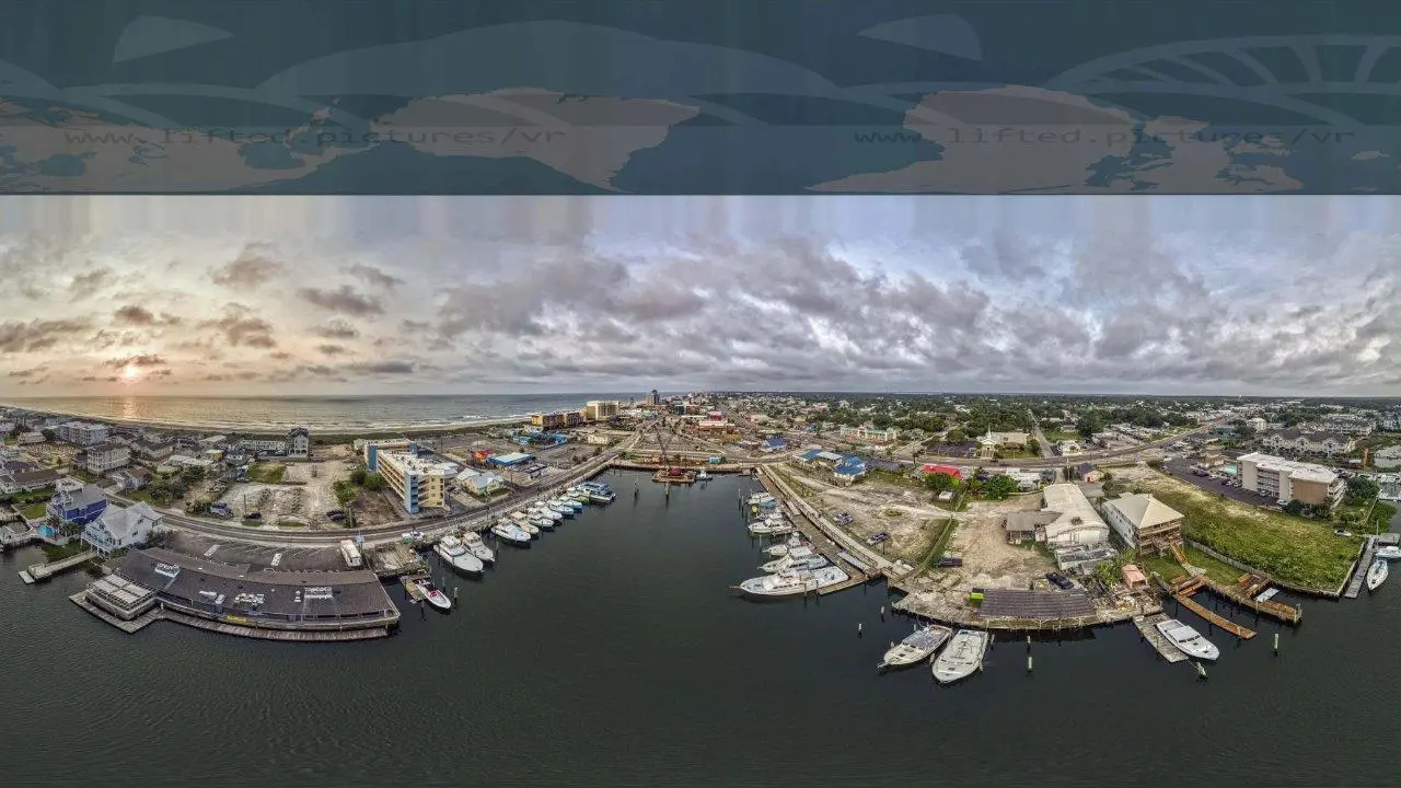
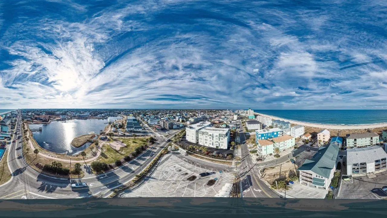
This 360° aerial panorama captures Mason's Inlet — the dynamic waterway that separates Figure Eight Island to the north from Wrightsville Beach to the south. The inlet cuts between the two barrier islands, with shifting sandbars and shoals visible where tidal currents meet the ocean.
To the right, Wrightsville Beach's developed shoreline stretches south with rows of beachfront homes and condos. To the left, the back-barrier marshes and tidal creeks spread inland, with Figure Eight Island's lower-density development set behind dunes and vegetation. The Atlantic Ocean fills the center and right.
Mason's Inlet is one of two inlets bordering Figure Eight Island — Rich Inlet lies to the north, Mason's to the south. Both are natural inlets, which is increasingly rare on the North Carolina coast where many inlets have been stabilized or relocated.
A Shifting Boundary
Like all natural inlets and barrier islands, Mason's Inlet moves. Tidal currents, storms, and wave action constantly reshape the sandbars and channel. The inlet has migrated over the years, narrowing and widening in response to weather events and seasonal conditions. The broad shoals visible in this 360° capture show how shallow and complex the inlet mouth is — sandbars can appear or disappear between visits.
The salt marshes behind the inlet are among the most ecologically productive habitats on the coast. Tidal creeks wind through the marsh grass, providing nursery habitat for fish, shrimp, and crabs.
Exploring the Area
Mason's Inlet is a popular spot for fishing, kayaking, and paddleboarding. You may or may not have luck getting anything bigger through the inlet, especially at low tide. The Wrightsville Beach side has public access, while Figure Eight Island is private. The inlet's shifting sands make it a fascinating place to revisit — the landscape changes with every season.
Embed this 360° view
Licensed for embedding with attribution to Lifted Pictures. Please include a link to lifted.pictures.
<iframe src="https://lifted.pictures/vr/wrightsville-beach-masons-inlet/?embed" frameborder="0" allow="fullscreen" style="width:100%;aspect-ratio:2/1;"></iframe>Professional 360° aerial photography for real estate, tourism, and coastal documentation. See how it works →