Click and drag to look around • Scroll to zoom • Double-click to reset
Loading VR Experience...
🌐 Paradise Point on Lake Wylie, North Carolina, USA
Lake Wylie is a man-made reservoir that spans the border between North and South Carolina. Its 325 miles of shoreline offer a picturesque setting for boating, fishing, and exploring a diverse range of wildlife habitats.
Lake Wylie is a man-made reservoir that spans the border between North and South Carolina. Its 325 miles of shoreline offer a picturesque setting for boating, fishing, and exploring a diverse range of wildlife habitats.
What You're Looking At
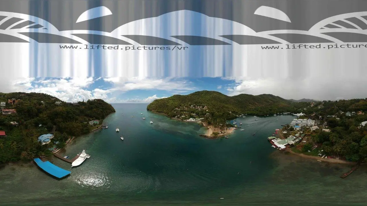
This 360° aerial panorama shows Paradise Point on Lake Wylie, captured from above on a clear summer day. The lake stretches across the entire view, with dense wooded shoreline, private docks, and lakeside homes visible along the shore. A wooded peninsula extends into the water near the center, dividing the lake into channels.
The water has a brownish tint — typical for reservoirs in this region, where sediment and tannins from the surrounding landscape color the water. Small coves and inlets break up the shoreline, each with its own mix of homes, boat slips, and riprap banks.
One of the Oldest Reservoirs in the Carolinas
Lake Wylie was first created in 1904 by a dam near Fort Mill, South Carolina, making it one of the oldest reservoirs in the state. The dam was rebuilt in 1924, expanding the lake to its current size of 13,400 acres with 325 miles of shoreline. The lake spans the border between North Carolina and South Carolina, with the Catawba River as its primary inflow.
Today, Lake Wylie is a popular destination for boating, fishing, and lakeside living. The shoreline is a mix of residential developments, marinas, natural areas, and public access points. The diverse habitat supports bass, crappie, catfish, and other warm-water species.
Captured From Above
The aerial perspective shows how the lake's shoreline folds into coves and points — each one a potential fishing spot or quiet anchorage. The fully leafed-out trees and short shadows indicate a midday summer capture, with the lake at its most inviting.
Explore It in 360°
Drag to look around. Scroll to zoom. Double-click to reset the view. The full panoramic resolution lets you trace the shoreline, spot the docks and homes, and get a sense of just how much coastline 325 miles of shoreline really is.
Embed this 360° view
Licensed for embedding with attribution to Lifted Pictures. Please include a link to lifted.pictures.
<iframe src="https://lifted.pictures/vr/lake-wylie/?embed" frameborder="0" allow="fullscreen" style="width:100%;aspect-ratio:2/1;"></iframe>Professional 360° aerial photography for real estate, tourism, and coastal documentation. See how it works →