Click and drag to look around • Scroll to zoom • Double-click to reset
Loading VR Experience...
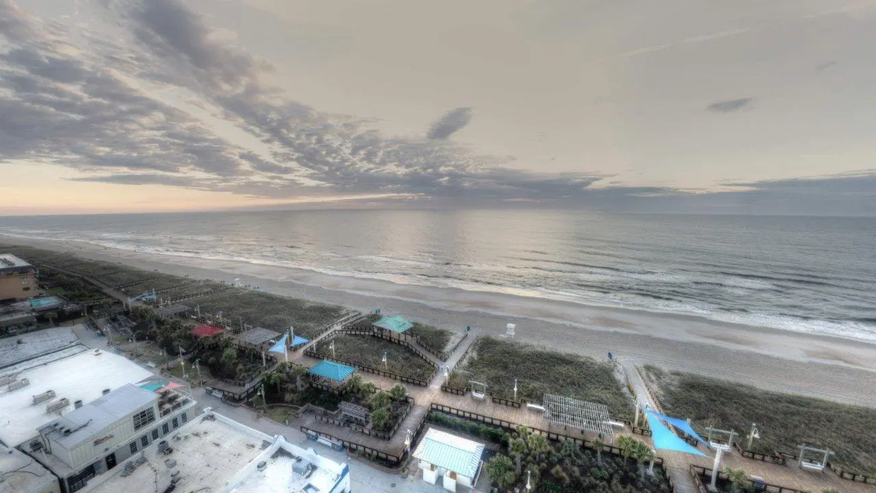
🌐 Freeman Park before Beach Nourishment, Carolina Beach, NC, USA
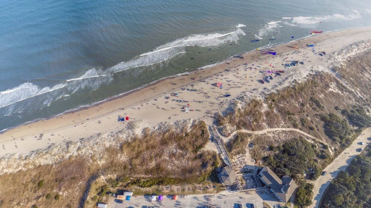
Here's a shot of the beach before this winter's renourishment project, a process where sand is added to the eroded beach. Will post updates so you can see what it looks like during and after. Then will see how long it takes for mother ocean to reclaim it.
Before the Nourishment
Here is a shot of the beach before last winter's renourishment project — a process where sand is added to the eroded beach. We'll post updates so you can see what it looks like during and after. Then we'll see how long it takes for mother ocean to reclaim it.
What You're Looking At
This 360° aerial panorama captures Freeman Park at the northern tip of Carolina Beach, North Carolina, before the 2026 beach nourishment project got underway. Shot from 400 feet above, the full scope of the coastline is visible — the developed beachfront to the west with its condos and beach houses, the rock revetment protecting the most vulnerable section, and the long undeveloped spit of dunes and marsh stretching toward Carolina Beach Inlet.
Carolina Beach Pier extends into the water on the ocean side. Offshore, sandbars and shoals are visible through the clear turquoise water, breaking the surf into distinct lines. If you look closely at the beach itself, you can see tire tracks — Freeman Park is one of the few beaches in North Carolina where you can still drive a 4×4 right onto the sand.
The narrow, eroded sections of beach are easy to spot. That's exactly what the nourishment project addresses — pumping sand back onto the shoreline to widen the beach and protect the infrastructure behind it.
Freeman Park and the Carolina Beach Coast
Freeman Park is one of Carolina Beach's biggest draws. It's the kind of place where people show up with families, fishing rods, and a truck full of beach supplies — because you can actually park on the beach here. The park sits at the northern end of Pleasure Island, bordered by the inlet and Masonboro Island to the north.
But the same natural forces that make it beautiful also make it fragile. Erosion has been an ongoing issue, particularly in the northern sections where high tides have eaten away at the beach to the point that vehicular access is restricted. The town has had to close sections indefinitely, and overnight camping was suspended ahead of the nourishment work.
A Cycle of Sand
Beach nourishment is exactly what it sounds like — sand is dredged and pumped back onto eroded beaches to rebuild them. Carolina Beach and neighboring Kure Beach go through this cycle roughly every three years, though the 2026 project was delayed a year, making it four years since the last fresh sand.
This 360° capture is the "before" — the baseline. The plan is to return during the project to show the dredges and pipelines at work, and then again after to see the widened beach. The real question is how long it lasts. Give it a few good storms and mother ocean will start pulling it right back out to sea.
Explore It in 360°
Drag to look around. Scroll to zoom. Double-click to reset the view. The full 12K resolution panorama lets you explore every detail from the surf line to the skyline.
Embed this 360° view
Licensed for embedding with attribution to Lifted Pictures. Please include a link to lifted.pictures.
<iframe src="https://lifted.pictures/vr/freeman-park/?embed" frameborder="0" allow="fullscreen" style="width:100%;aspect-ratio:2/1;"></iframe>Professional 360° aerial photography for real estate, tourism, and coastal documentation. See how it works →